COMMERCIAL
Drone Services
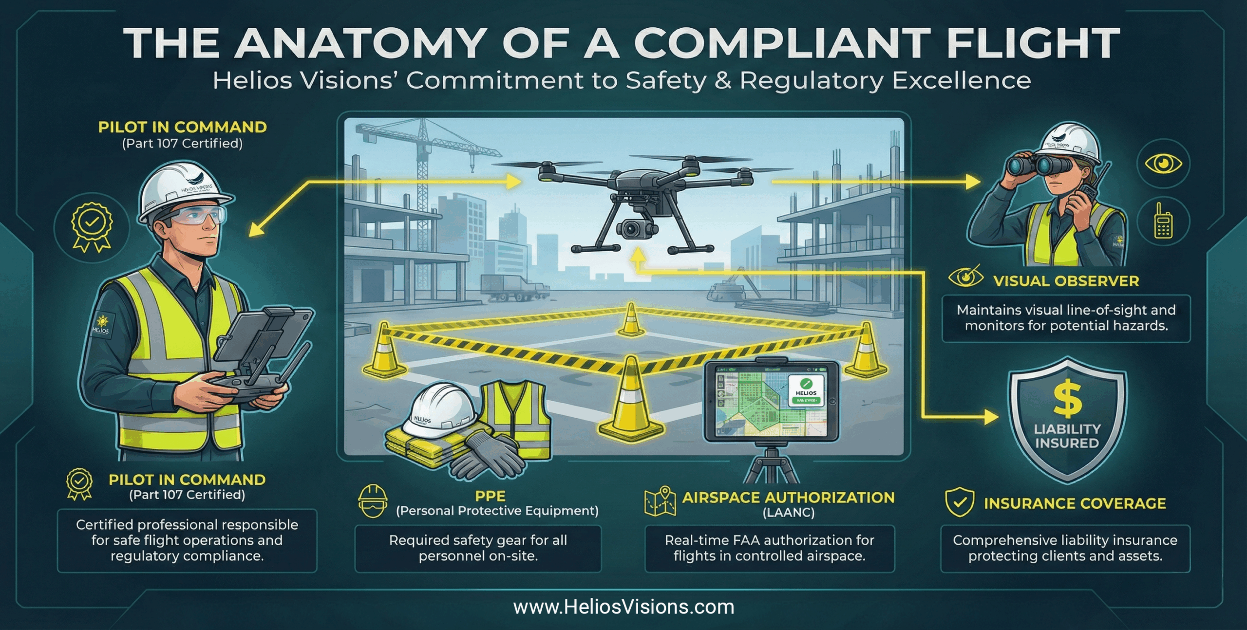
FAA Authorized Pilots | Fully Insured
We specialize in Drone Mapping, Drone Inspections, 3D Reality Capture, Drone Photos & Videos, and 360 VR Panoramas. Collecting geospatial data for clients in architecture, engineering, construction, commercial real estate, and environmental industries.
Level Up ^
Get ROI That Soars
Drone mapping captures more detailed and accurate data reporting for less money and less risk. That means a better project bottom line, every time.
Better Management
Use drone data to more efficiently deploy resources around your job site, trim costs, and minimize risks.
Improved Safety
Identify real-time safety concerns, plus reduce the time employees, surveyors and contractors spend on roofs and other high-risk areas.
Data on Demand
Access your data online in real time and make smart decisions that keep your project on pace. Most projects are delivered within 24 to 48 hours.
Project Documentation
Track the progress of your project against 3D models and aerial views to ensure your team is meeting its milestones.
Improved Communication
Keep everyone on your team up-to-speed by sharing 3D maps and models that show real-time progress.
Some of Our Clients Include





Your turn to make a move
Like Nothing You've Seen Before. Contact Us Today To Learn More.
Contact Us For A Free Demo!
![[WEBINAR] Next-Generation Façade Inspections: Engineering Insights & Drone Technology in 2025 [WEBINAR] Next-Generation Façade Inspections: Engineering Insights & Drone Technology in 2025](https://www.heliosvisions.com/wp-content/uploads/2025/10/2025-KH-Webinar-4-800x800.png)